Note: Adventures as of last fall-ish. Here’s hoping we get some greenery soon!
My first impression of Graffiti Alley? It’s just as much in a hidden corridor and loading zone as it is a gallery. I enter from Augusta, although the path begins at Spadina in the east. The mighty needle rises above some cartoon caricatures dancing around some windows.

Nearby, there’s some more sophisticated aquatic renderings. The creative output in both drawings are impressive. It’s a grand exercise in place making, isn’t it? Here you have previously dead, in-between ‘spaces’ turning into destinations themselves through the creative efforts of some talented individuals.


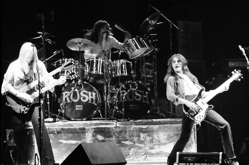
As a past adventure taught me, names hold meaning, and assigning a name to a space goes a long way into place making. Graffiti Alley is formally recognized as Rush Lane, and doesn’t refer to the trio from Willowdale, but a local who once owned many shops along Queen Street. Making meaning through commemoration. With that knowledge, I come out at Portland and head up to the street.

The Outer Layer hugs the corner of Queen and Portland. The rather unfortunately faded plaque can’t tell me this, but this was built as a Bank of Montreal branch in 1899. It was designed by Frederick Herbert, who, in my opinion, is the second most iconic architect of old Toronto (E.J. Lennox being the first.) Through observation throughout the city, it doesn’t seem too often that an old bank deviates from its original purpose. Of course, it does happen – the most formidable of Banks of Montreal is now the Hockey Hall of Fame.

I do slip inside the shop for a moment. I’m on a mission for some quirky Toronto-themed postcards to send overseas. I don’t find any here, but I do come away with a Lou Reed card and a TTC subway magnet I pick up at the register.
Across the way is the formidable looking Epicure Cafe building. I’ve eaten there a few times…very affordable prices for great food. Even further down (not pictured) is Tequila Bookwork, another great local eatery and drinkery.

I follow the way past Bathurst, where a backpacker greets me on the other side of the crossing. I’m not sure what kind of works he’s packing.

Outside the Dog’s Bullocks (possibly the greatest name for a bar), a group begins a chant that I don’t get but they find wildly amusing. A few doors down is Valhalla Cards, which houses a grand collection of postcards. Among my purchases are a 1910 look up Bay Street and a Captain Canuck cover from 1975.


Next, I take a swing onto Niagara Street, and another alley quickly greets me. Unlike Rush Lane, this one is unnamed – but this is expected. Of the 3000+ alleys in Toronto, only 200 are actually places. One such exists north of Gerrard between Coxwell and Greenwood.

Here I encounter a cyclist and the CN Tower again – albeit anthropomorphized. I love TO too, little needle.

I also get some two-word advice.

For an existential thought, I mentally tag on ‘Yourself’ to this one.


Back on Niagara, another sweet mural presents itself.

Whenever I used to see Niagara Street on a map, I’d always wondered why it curved. All the streets around it follow a grid; what is Niagara’s deal? Did the town planners have a fun day at the office that day?
Only recently did I come to the realization that’s all geography. The now buried Garrison Greek ran roughly parallel to the street. In fact the western side of Niagara used to have breweries and lumber yards, which lined the banks of the creek.

Down the way I find Niagara Street Junior Public School, which celebrates its centennial this year. It’s actually the second incarnation of the school, the first built in 1874 and later demolished to make way for the new building.

Maybe it’s my suburban upbringing, but the yard is curiously small for a schoolyard to me. The grass is not actually grass either.

Further down past King Street I find the another institution, the Fu Sien Tong Buddhist Temple. It looks odd to me – not the building itself, because that’s beautiful and an unexpected discovery – but the way it’s set back from the street and not parallel to it.

Where Niagara meets Tecumseth is some more industrial history in the former National Casket Co. buildings. It’s a complex of three structures built between 1884 & 1887. The most easterly is the oldest. You can guess that they’re about to undergo development.


That’s not the extent of the industrial character of the street. At the very foot of Tecumseth is the Toronto Abattoir. Or was, anyway. This year marks the end of a 100+ year history of animal processing in the area. To think: an animal slaughterhouse and a coffin factory steps from each other…kind of dark, no?


I can’t tell for sure, but I think there’s a remnant of the radial spur below me. I could be wrong.

Beyond the railway lands below is Fort York National Historic Site, although I can’t see it right now. With that, I turn back up the street, spotting the last bit of street art of the day.


The walk up Tecumseth is rather uneventful – not much happening other than the 1897 Ukrainian Baptist Church near Queen. I snap a picture and then continue on to catch a streetcar.
